
South Bend Neighbor Record Layers
The immediate block is best read as several layers. St. Joseph County GIS draws parcel edges and supplies parcel IDs. The assessment map links tax context and annual property cards. City address points help normalize a street number. Neighborhood plans show resident-led geography, while old directories and Sanborn maps describe the same place at a dated point in time.
| Source | What It Shows About a Block | Access |
|---|---|---|
| County GIS and assessment map | Parcel boundaries, IDs, owner or tax display, map layers | Public viewers; click and record dates |
| City address points | Street number, street name, ZIP, GISID, city context | Public spatial service, not a resident list |
| Elections and precinct layers | Polling and civic geography | Self-lookup; person-level data restricted |
| Neighborhoods Consortium and plans | Representatives, planning bounds, meetings, projects | Public civic contacts, not member rosters |
| Directories, Sanborn maps, local archives | Dated people, firms, buildings, and street context | Library, archive, or digital collection |
A parcel owner may live elsewhere, use a trust or company name, or receive tax mail at another address. A homestead deduction may reflect a tax filing but is not proof of everyone in a home. Permits and code cases document work or enforcement at the place. None gives a full list of renters, children, guests, or other occupants.
Define South Bend Neighbors First
Choose a geographic rule before collecting results. An adjacent parcel shares a boundary. A block face covers addresses on one side between two cross streets. A neighborhood association can span many blocks and may follow planning lines that do not match ZIP Codes, precincts, subdivisions, or the city limit.
- Parcel
- A mapped unit of land identified by a county parcel or tax ID.
- Situs address
- The physical property address, which can differ from the tax mailing address.
- Adjacent
- Sharing a parcel edge, not merely appearing close on a map.
- Plan boundary
- An area used for civic planning, not proof of a person's membership or residence.
Record that rule with the map date. This prevents a corner lot, alley, river edge, or city boundary from quietly changing who counts as nearby.
Map South Bend Neighbors by Parcel
The St. Joseph County parcel viewer supports an address or Parcel ID search. Its guide also describes feature selection, owner-name lookup, zoom, highlight, map printing, and report printing. Use those tools to walk outward from one verified parcel rather than running a loose name search.
- Search the subject street address, then confirm the parcel ID and street centerline.
- Turn on parcel boundaries and click each lot that actually shares an edge. Note alleys and corner lots.
- Save the map date, parcel ID, owner-of-record label, and the layer that supplied each fact.
- Open the annual property card when available, but keep situs, mailing, and ownership fields separate.
- Use a neighborhood plan only after the parcel set is fixed, so community context does not replace land records.
The insider rule is simple: a screenshot without its map date, parcel number, and layer name is weak evidence. For a whole named road rather than the immediate block, use the South Bend Street Directory.
South Bend Owner Is Not Occupant
County property records can show an owner, tax mailing address, parcel number, legal description, transfer history, values, and deductions. Those fields answer land and tax questions. They do not prove that the owner occupies the property or identify a complete household. A company or trust may own the parcel, and a mailing address may point outside South Bend.
| Role | What the record supports | What it does not prove |
|---|---|---|
| Owner of record | Name tied to a parcel or deed date | Current occupancy |
| Taxpayer or mailing contact | Address used for tax correspondence | Physical home |
| Permit applicant | Named role in a dated project | Ownership or residence |
| Association representative | Public civic contact role | Membership of nearby homes |
Labeling each role protects accuracy. It also keeps neighborhood curiosity from becoming a compiled people profile.
South Bend Neighborhood Contacts
The South Bend Neighborhoods Consortium is the official umbrella route for neighborhood representatives, meetings, and civic communication. It provides community access, not a list of every household. Named plans such as River Park add project, feedback, and planning geography for a particular area.
Neighborhoods Consortium
City-recognized participation route for representatives, shared issues, and public meetings.
River Park Plan
Official neighborhood planning map and resident-facing project context.
County GIS Hub
Parcel, boundary, address, precinct, aerial, and other spatial layers.
The Consortium page is a successful assigned image and shows the civic layer available to South Bend neighbors.
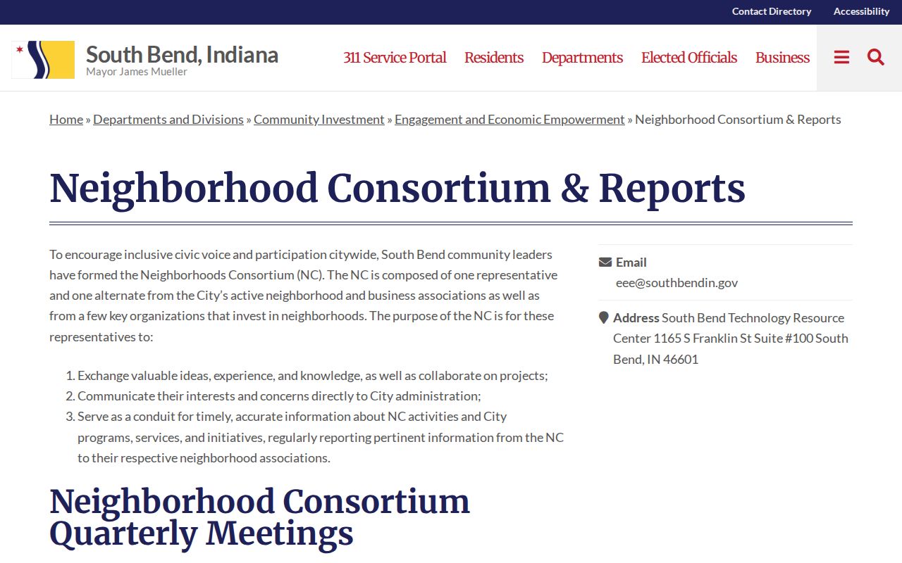
Use it to locate a public contact or meeting, not to infer who belongs to an association.
The River Park planning map supplies a more focused example.
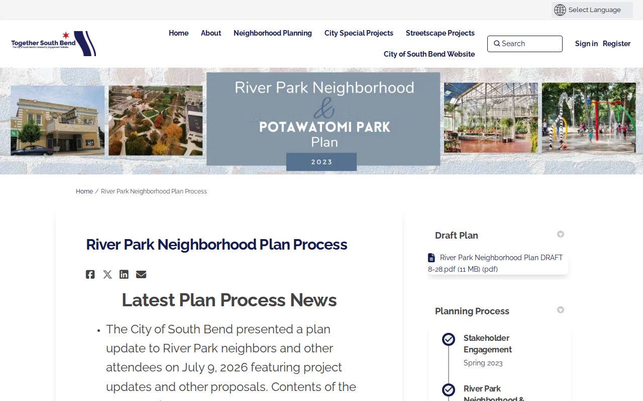
Its boundary describes a planning area. It does not replace parcel edges, postal geography, or a resident roll.
South Bend Voter Geography Limits
IndianaVoters lets a person check their own registration, polling place, ballot, and county contacts. County GIS can add precinct geography to a block. Those tools help orient South Bend neighbors to civic boundaries without publishing a harvested list of voters.
Person-level voter data follows Indiana restrictions. St. Joseph County routes requests through its voter-data process, and the state forms restrict solicitation and redistribution. Address Confidentiality Program participants can have voter records flagged confidential. A precinct line is useful context, but it should never be used to defeat that protection.
Note: A ZIP, precinct, parcel, subdivision, township, and neighborhood may overlap one South Bend address without sharing the same boundary.
South Bend Block Event Context
Permits and code cases can add a dated place event. South Bend's Accela search covers permit and code material, while county permit routes may apply outside city jurisdiction. A result can show the address, project or case type, status, and dates. It still does not list every person at the property.
Public-safety data needs the same restraint. The South Bend quarterly public-safety updates provide aggregate city context rather than a person label.
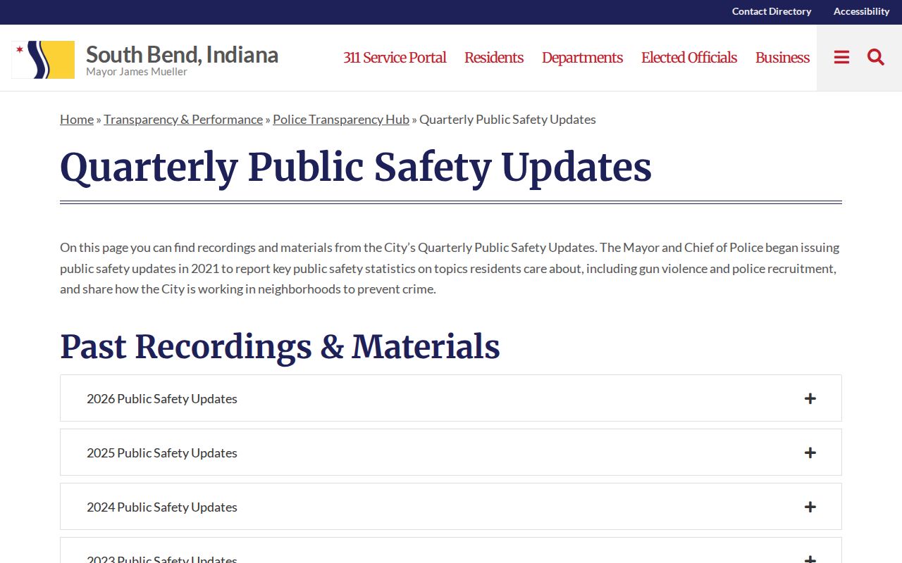
The captured page belongs in a dated neighborhood research file, not beside a named parcel owner as an accusation or risk score.
Historical South Bend Neighbors
A past block calls for dated sources. The 1883 South Bend directory followed address renumbering, so its street index can help reconcile an older number. Criss-cross volumes reverse the usual search by starting with an address. Sanborn maps add building footprints, use, materials, and lot context for mapped years from 1885 through 1949.
Start at a street intersection, note the publication year, and mark each directory name by its printed role. A resident line, business listing, boarder, and telephone subscriber are different forms of evidence. Corner firms, churches, schools, cemeteries, and river crossings can anchor a match when house numbers changed.
This historical method can reconnect a family with an old block without implying that any named person remains there today. SJCPL, the History Museum, and South Bend Area Genealogical Society can help with focused requests when the needed volume is not online.
Official South Bend Neighbor Sources
Commercial neighbor tools may merge old addresses, relatives, and phone data without a clear date or correction path. Official sources are narrower, but each identifies a custodian, record purpose, and role. That makes them easier to verify and safer to cite.
| Source type | Strength | Main limit |
|---|---|---|
| Official parcel, permit, or plan | Dated role, defined geography, custodian | Does not list a whole household |
| Library or archival source | Publication year and historical context | May be incomplete or use old numbers |
| Commercial neighbor category | May gather broad leads | Unclear freshness, merged identities, weak role labels |
For corrections, go to the office that created the source. Do not copy a broad commercial result into a block list.
South Bend Neighbor Privacy Limits
Public maps do not make every nearby fact fair to republish. Renters, children, guests, utility customers, delivery data, private association rosters, full birth dates, phone numbers, and protected addresses do not belong in a block profile. Indiana's Address Confidentiality Program gives eligible survivors a substitute address and confidential mail forwarding. Never try to reverse it with parcel, voter, or directory records.
Minimize the result to the public role and date needed for the question. If a person asks for a correction, direct the request to the assessor, Clerk, Elections office, city department, library, or other custodian that holds the source. A careful neighbor lookup describes parcels and community context without watching or exposing a household.
Lawful use. South Bend neighbor research is for civic curiosity, history, reconnection, and personal safety awareness. Never use it to watch, harass, threaten, or intimidate anyone.